

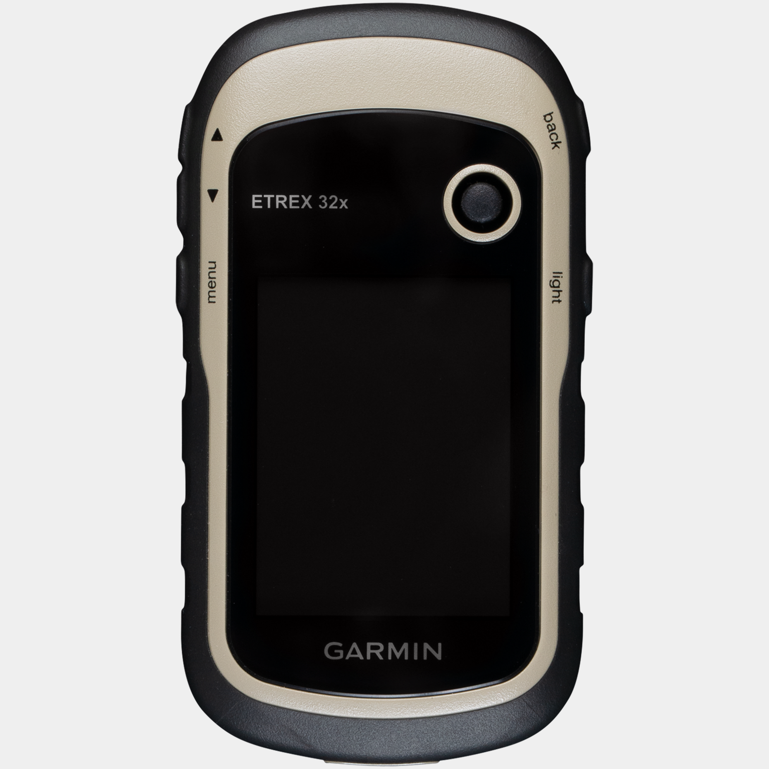
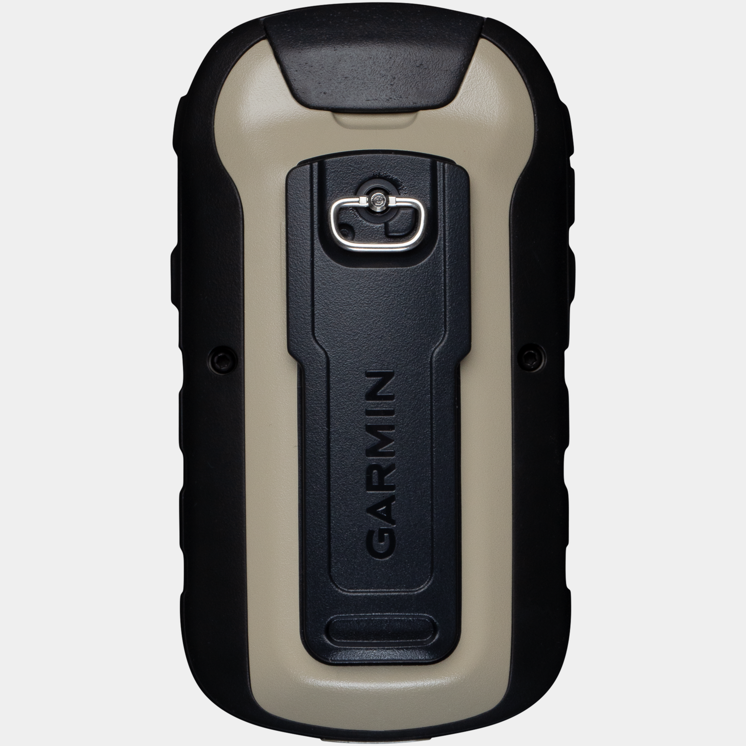
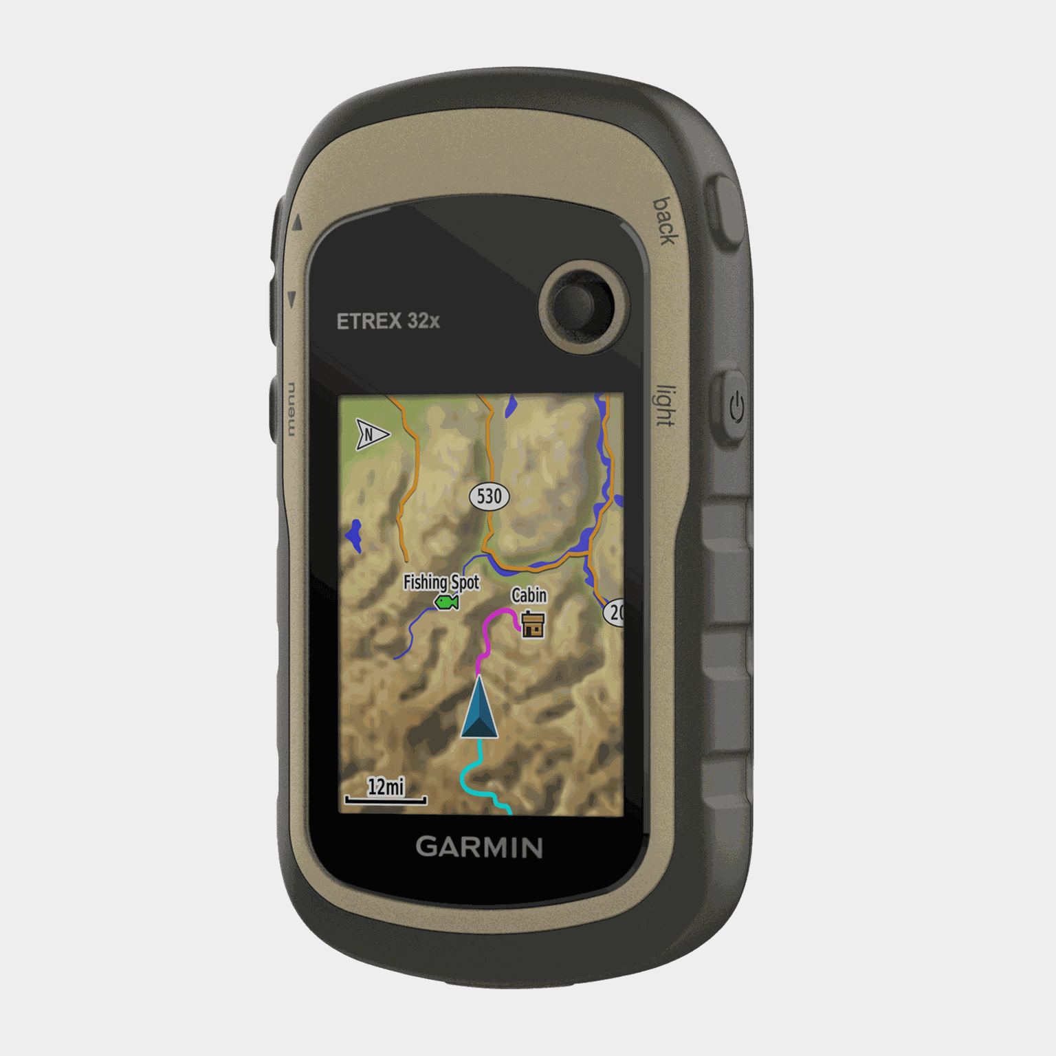
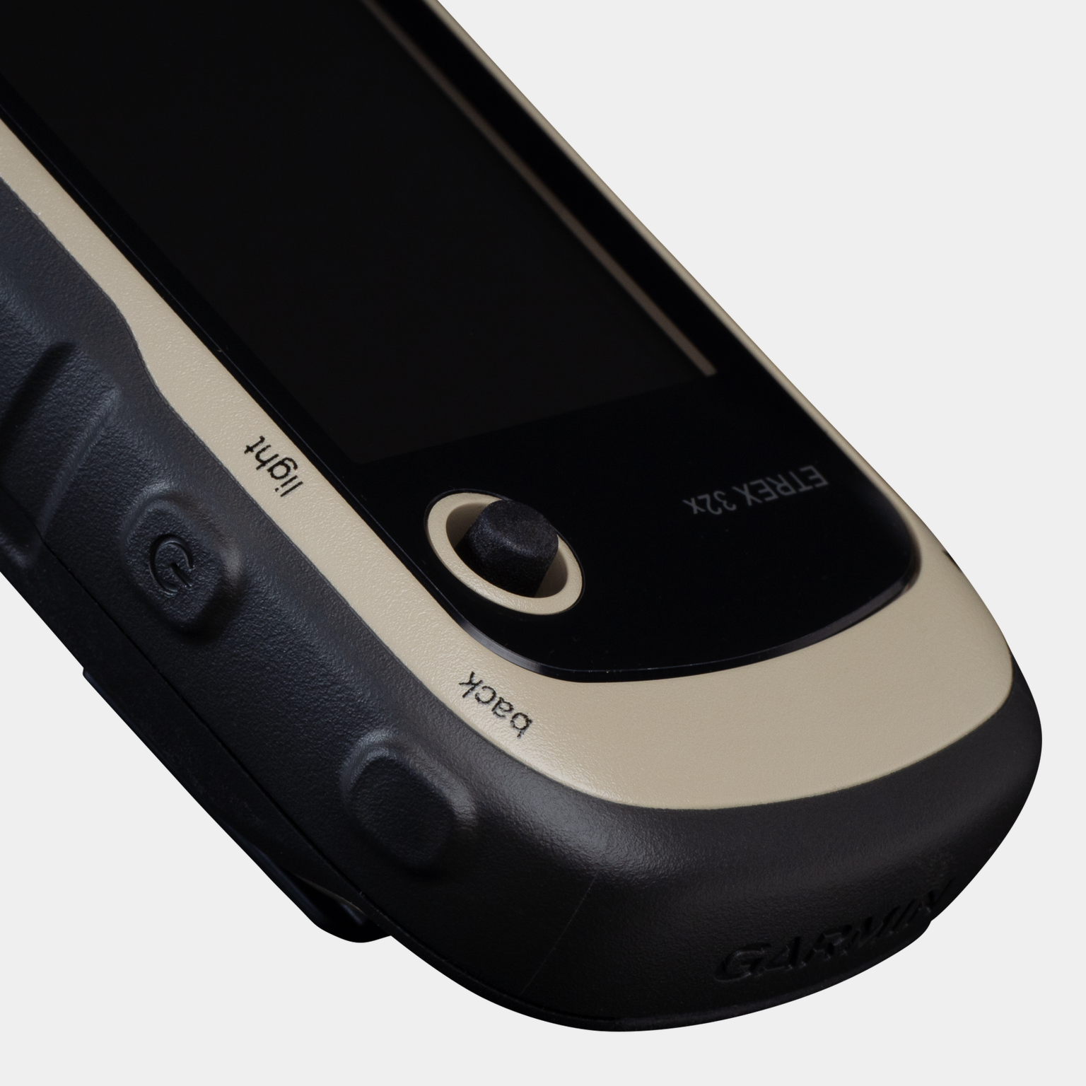

Rugged portable GPS navigator with compass, barometric altimeter and up to 25 hours of battery life. Preloaded with TopoActive maps of Europe, including roads and hiking trails. The Garmin eTrex® 32x offers the ease of use, durability and longevity you expect from the eTrex® family. A 2.2-inch sunlight-readable display with 65,000 colors provides fast and intuitive navigation. The eTrex 32x is equipped with a 3-axis compass and barometric altimeter for easy navigation. Preloaded with TopoActive maps of Europe, including roads and hiking trails, allows you to explore unknown territories. Discover your surroundings: rivers, nature reserves, buildings, national borders and more. You'll also find thousands of points of interest, including shops, restaurants, universities, parking lots and lodging.
The eTrex® 32x uses GPS and GLONASS satellite systems to provide reliable performance even in difficult terrain, rather than relying solely on GPS.
With a microSD card slot and 8GB of internal memory, you can easily download additional maps for all your adventures.
The eTrex® 32x is compatible with paperless treasure hunting. Download GPX files directly to your device and view important information like location, terrain and routes on Geocaching.com. Designed as a portable outdoor GPS device, eTrex® is ideal for use on ATVs, bikes, boats and hikes, and comes with a variety of compatible mounting systems. Use your car unit and City Navigator® NT maps or the rugged motorcycle and ATV unit for turn-by-turn navigation. Technical specifications: - Weight: 141.7 g (with batteries) - Dimensions: 5.4 x 10.3 x 3.3 cm - Screen size: 3.5 x 4.4 cm, 5.6 cm (2.2 inches) diagonal - Screen resolution: 240 x 320 pixels - Screen type: 2.2-inch color TFT display, reflective
- Number of colors: Battery: 2 x AA batteries Battery life: 25 hours in GPS mode Protection: IPX7 Memory: 8 GB Waypoints/locations: 2000 Route log: 10,000 waypoints, 200 saved routes
- Routes: 200
Additional information:
- Batteries not included
- NiMH and lithium batteries recommended
- Sensitive receiver
- Pre-installed maps: TopoActive Europe, navigation
- Map functions
- Map database
- Automatic route planning (detailed road maps available as an accessory)
- microSD™ card not included
- Distance calculation
- Hunting/fishing calendar
- Sun and moon
- Suitable for paperless treasure hunting
- Map display
- Compatible with GPS and GLONASS satellite navigation systems
- Adjustable color display of the sun
- Three-axis compass and barometric altimeter
- Compatible with Birdseye satellite images (subscription required)
The eTrex® 32x uses GPS and GLONASS satellite systems to provide reliable performance even in difficult terrain, rather than relying solely on GPS.
With a microSD card slot and 8GB of internal memory, you can easily download additional maps for all your adventures.
The eTrex® 32x is compatible with paperless treasure hunting. Download GPX files directly to your device and view important information like location, terrain and routes on Geocaching.com. Designed as a portable outdoor GPS device, eTrex® is ideal for use on ATVs, bikes, boats and hikes, and comes with a variety of compatible mounting systems. Use your car unit and City Navigator® NT maps or the rugged motorcycle and ATV unit for turn-by-turn navigation. Technical specifications: - Weight: 141.7 g (with batteries) - Dimensions: 5.4 x 10.3 x 3.3 cm - Screen size: 3.5 x 4.4 cm, 5.6 cm (2.2 inches) diagonal - Screen resolution: 240 x 320 pixels - Screen type: 2.2-inch color TFT display, reflective
- Number of colors: Battery: 2 x AA batteries Battery life: 25 hours in GPS mode Protection: IPX7 Memory: 8 GB Waypoints/locations: 2000 Route log: 10,000 waypoints, 200 saved routes
- Routes: 200
Additional information:
- Batteries not included
- NiMH and lithium batteries recommended
- Sensitive receiver
- Pre-installed maps: TopoActive Europe, navigation
- Map functions
- Map database
- Automatic route planning (detailed road maps available as an accessory)
- microSD™ card not included
- Distance calculation
- Hunting/fishing calendar
- Sun and moon
- Suitable for paperless treasure hunting
- Map display
- Compatible with GPS and GLONASS satellite navigation systems
- Adjustable color display of the sun
- Three-axis compass and barometric altimeter
- Compatible with Birdseye satellite images (subscription required)
Comment